 Call
Call

Aerial Services
Aerial mapping | LIDAR | CAD | Reality capture
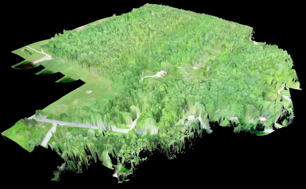
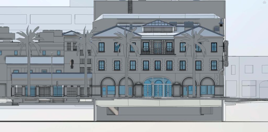
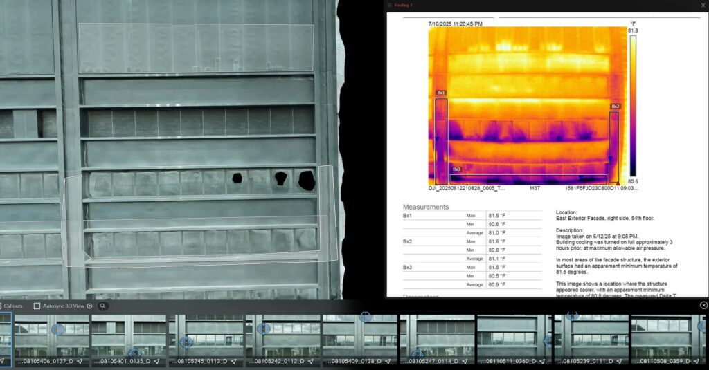
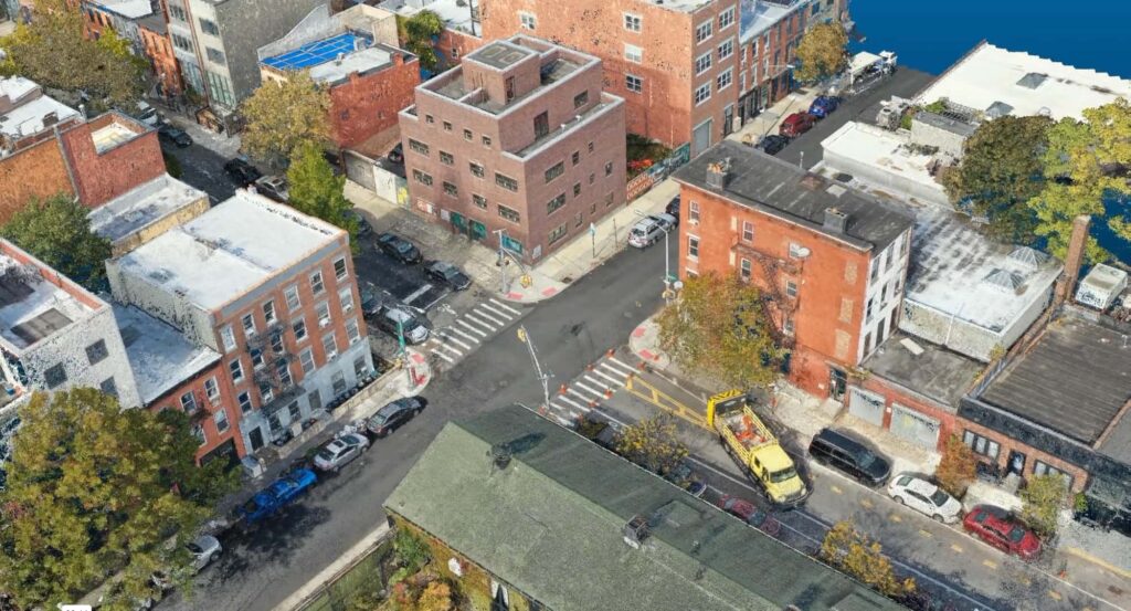
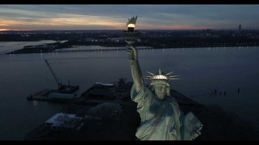
Drone and ground-based LIDAR, photogrammetry and thermal imaging, turned into models, maps and measurements your team can build on.
Trusted by:






01 | The work
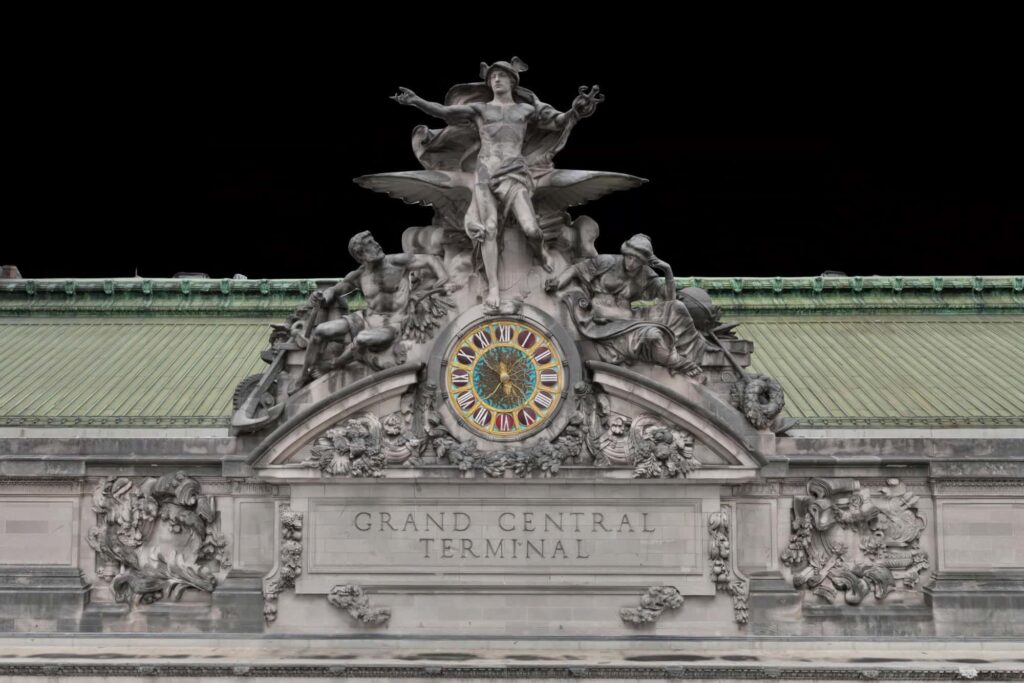
We fly it, scan it and measure it, then hand you the model, the map and the numbers. Real sites, captured accurately, so decisions get made on facts.
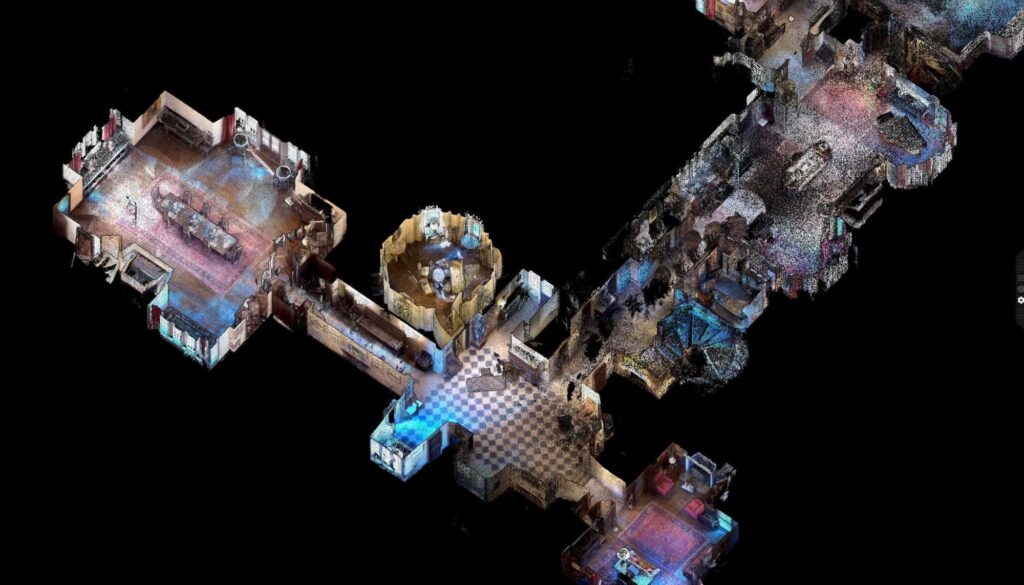
02 | Services
03 | Seen from above
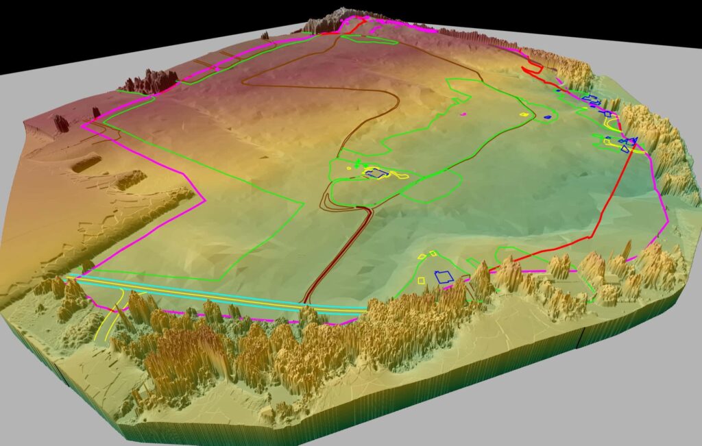
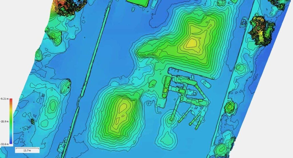
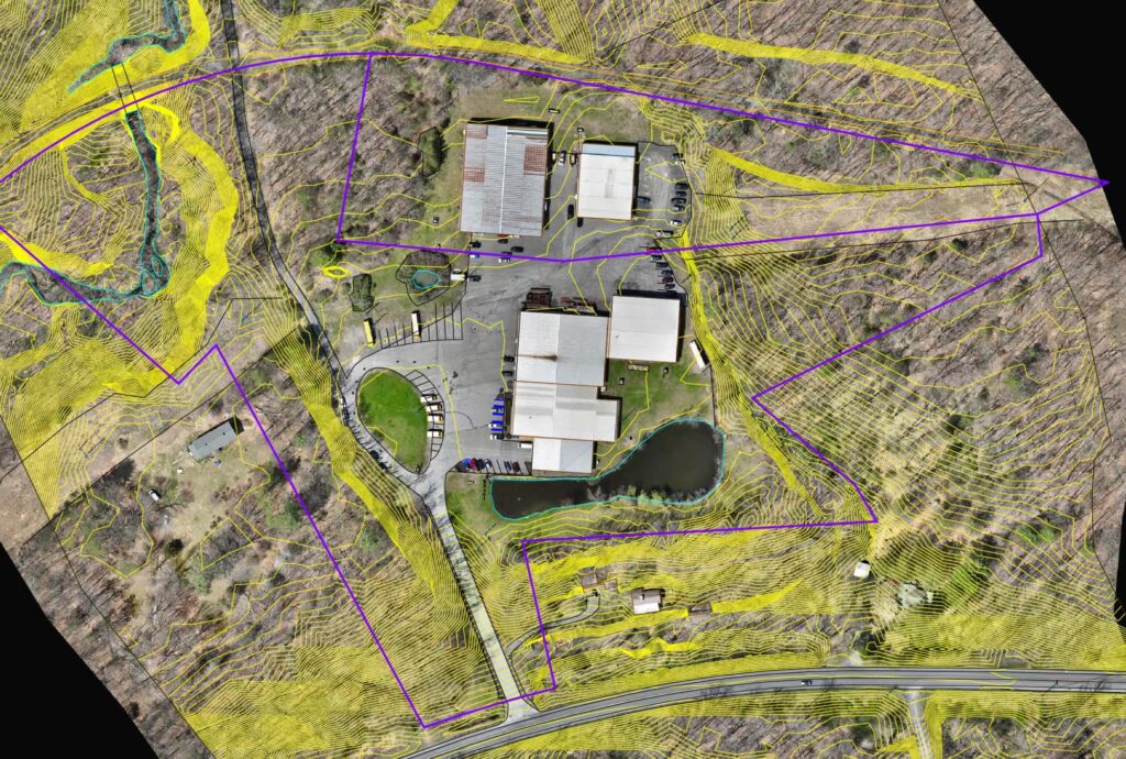
LIDAR terrain model
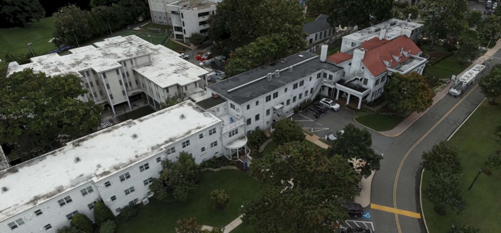
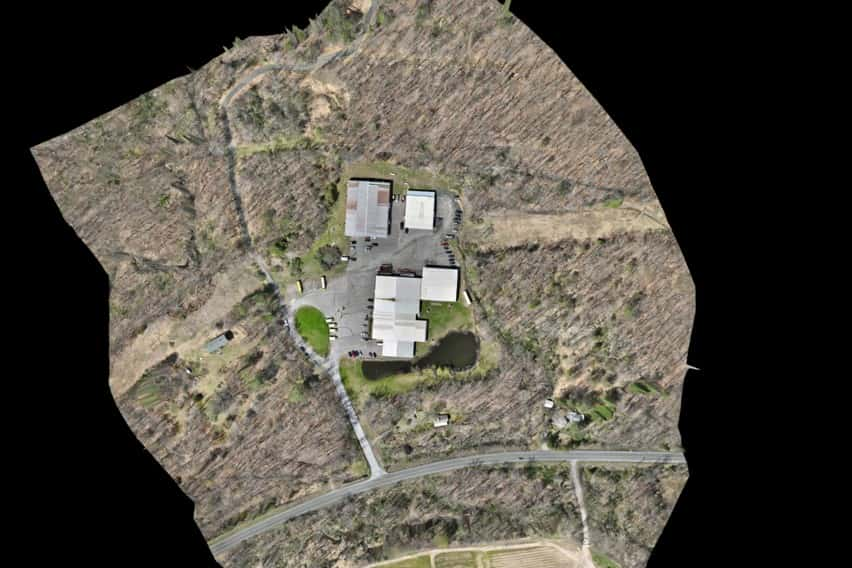
Aerial photogrammetry
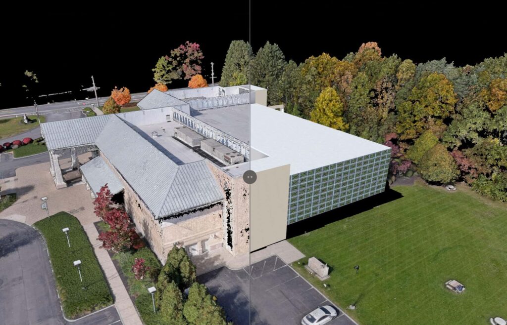
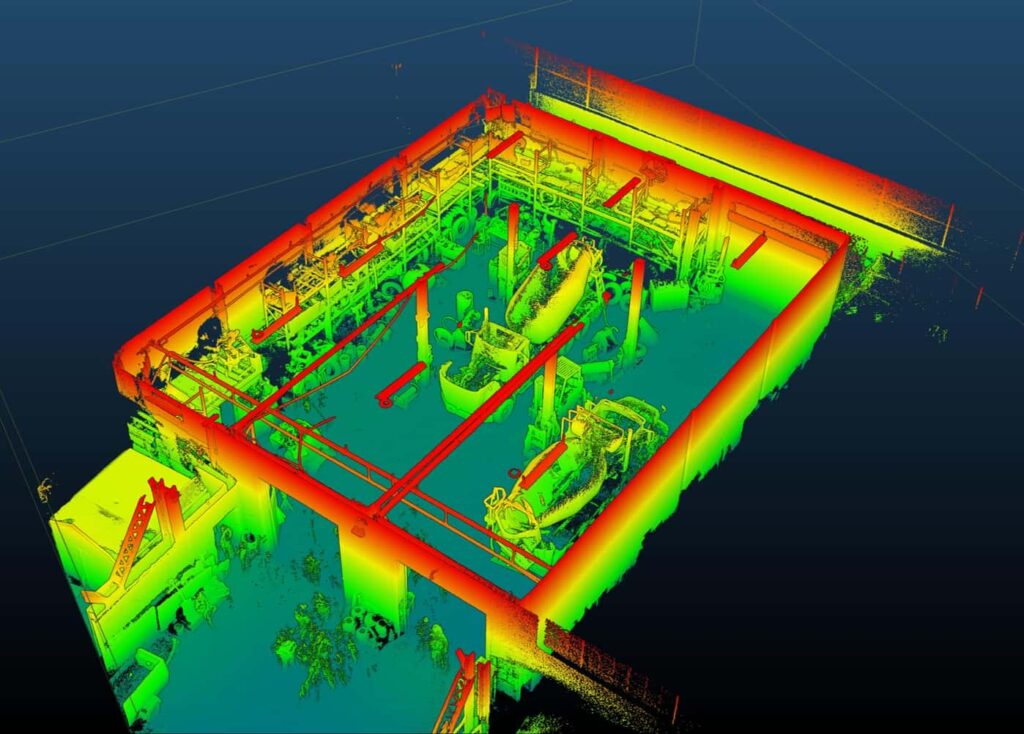
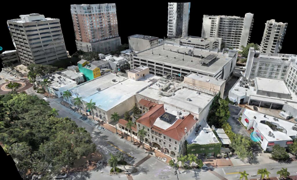
Building capture
04 | Method
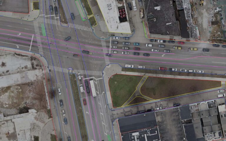
01
Scope the site, the deliverables and the flight or scan plan.
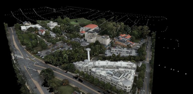
02
Fly and scan on site with calibrated equipment.
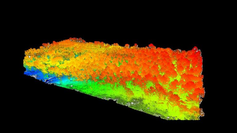
03
Turn raw data into point clouds, meshes and maps.
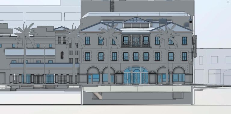
04
Hand over files your team can open and use.
05 | Industries
06 | Next step
No matter what your project need is, reach out to us. We’re always happy to provide a free consultation to guide your team towards success!
Start a project